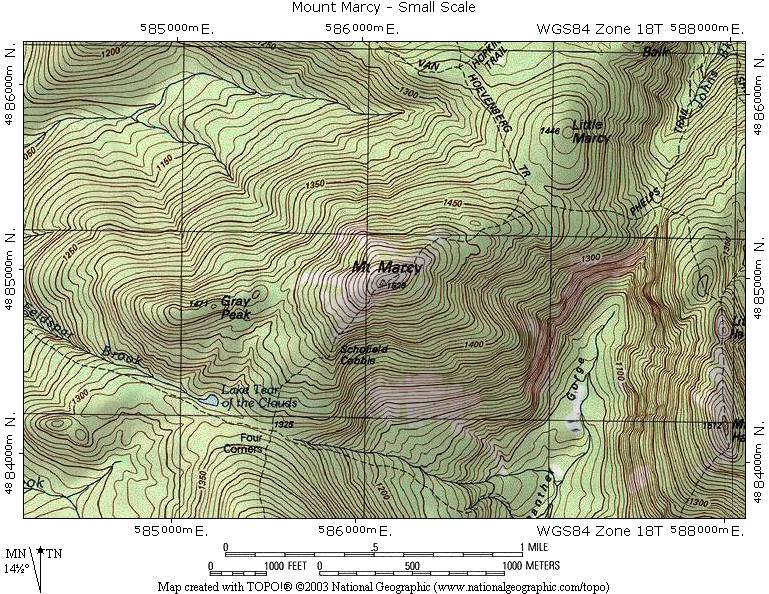
Topographic maps use contour lines to represent the various elevations of the land it represents in a two demensional way. With each hill and valley shown it is easy to see why they would be used for development purposes like companies involved in housing development, or even for planning a trip in the mountains or a hike.
http://www.adirondacknorthway.com/mappages/mount_marcytopo.php
No comments:
Post a Comment